Overview
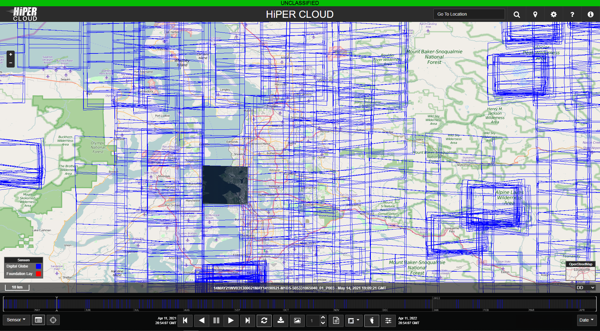
HiPER CLOUD is a high-performance, web-based geospatial catalog and streaming platform, purpose-built to empower analysts, warfighters, and intelligence professionals with instant access to mission-critical imagery and GEOINT data. By combining an intuitive visual search interface with high-speed imagery playback and real-time alerting, HiPER CLOUD dramatically accelerates the discovery, analysis, and exploitation of geospatial intelligence.
Designed for both enterprise-scale and tactical deployments, HiPER CLOUD ensures users can rapidly scan, compare, and extract insights from massive volumes of imagery -whether working in secure cloud environments, on-premise infrastructure, or disconnected expeditionary operations.
HiPER CLOUD bridges the gap between raw geospatial data and actionable intelligence, enabling users to stream content into third-party applications, automate change detection workflows, and power AI/ML-driven feature extraction at enterprise scale.
Real-World Use Case
As intelligence operations evolve, the ability to ingest, process, and distribute vast amounts of mission data at scale is critical. HiPER CLOUD delivers a secure, cloud-based platform that enables real-time GEOINT processing, AI-powered analytics, change detection & time-lapse analysis, and multi-domain interoperability. By supporting distributed operations and automated workflows, HiPER CLOUD allows users to rapidly extract intelligence, collaborate efficiently, and make informed decisions faster.
Key Features & Benefits
- AI-Enhanced GEOINT Processing – Accelerate decision-making.
- Change Detection & Time-Lapse Analysis - Identify subtle but mission-critical changes.
- Cloud-Based Scalability – Supports distributed operations.
- Multi-Domain Interoperability – Integrates with existing mission systems.
- High-Security Architecture – Meets defense-grade security standards.