DELIVERING DECISION-QUALITY INSIGHTS. ANYWHERE. ANYTIME.
Cubic Digital Intelligence (CDI) specializes in advanced GEOINT dissemination, visualization, and data management solutions purpose-built for defense and intelligence missions. From enterprise operations to the tactical edge, our technologies deliver real-time access to geospatial intelligence, including full-motion video, elevation, imagery, and vector data - even in disconnected, denied, or bandwidth-constrained environments. With CDI, decision-makers and warfighters gain the geospatial context they need to act with speed, confidence, and precision across any domain.

MULTI-INT and AI/ML Integration
Integrating multiple data sources and AI/ML analytics into a seamless, production-ready pipeline is challenge for many organizations. CDI’s Tethys simplifies this process, enabling organizations to efficiently combine diverse data sources and machine learning models to generate actionable intelligence. This demo will showcase how Tethys can flexibly integrate data sources and AI-driven analytics to streamline data operations. When paired with CDI’s multi-int data exploitation tool, UV+, users can generate, visualize, and interpret operational data in real time, creating a clearer and more comprehensive understanding of their environment.
GEOINT from the Edge to the Enterprise
With GEOINT collection volumes growing rapidly, data is continuously arriving at ground stations worldwide. The challenge is ensuring that the right data reaches the right people at the right time to support effective operations. CDI’s HiPER Suite, combined with its Synchronization Service, enables efficient ingestion, processing, dissemination, and synchronization of GEOINT data—seamlessly bridging the gap between the edge and enterprise. Even in Denied, Disrupted, Intermittent, and Limited (DDIL) environments, this capability ensures that everyone fights off the same map and has access to the most up-to-date intelligence.

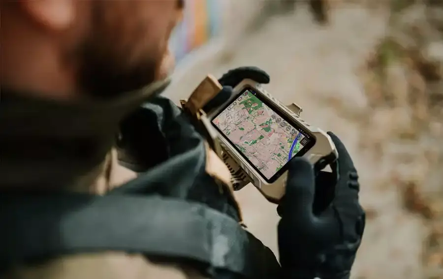
TAKTICS: Geospatial data. Three clicks away.
TAKTICS streamlines access to geospatial data by bringing together siloed geospatial data sources into a single, easy-to-use interface. Users can quickly find mission-relevant datasets and download data for their TAK device in just three clicks. For even faster access, TAKTICS offers a TAK plugin which enables direct download to the device, minimizing steps to get the right data to the right place. Whether accessing data through the full interface or directly from the field, TAKTICS is designed to reduce complexity and get the right information where it's needed, fast.