Foundational GEOINT Data Powering the Mission
Cubic Digital Intelligence (CDI) solves the hardest part of modern intelligence operations: moving complex data like GEOINT and full-motion video from gold-standard repositories to weapons systems and operators at the tactical edge... quickly, securely and on a global scale. Our technologies transform raw sensor outputs into mission-ready data through normalization, enrichment, AI-ready preparation, and network optimization. CDI then securely delivers that data across enterprise and tactical environments using cross-domain translation, policy enforcement, and standards-based services like OGC and TAK. The result is mission-ready intelligence that reaches the people and systems that need it, when and where it matters most.
The mission isn’t collecting data. It’s moving it.

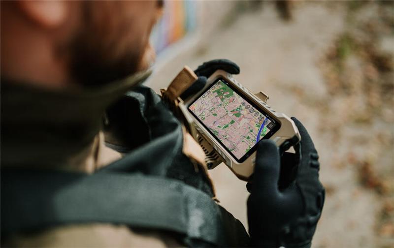
Mission-Ready GEOINT. Delivered to TAK.
TAKTICS streamlines discovery and delivery of authoritative GEOINT data directly into the TAK ecosystem, enabling seamless access to Vectors, Vector Tiles and shared operational maps at enterprise scale. With AutoSync Maps, users automatically receive current foundational data without manual updates or reprocessing, eliminating dissemination bottlenecks across connected and disconnected environments. The result is faster access, consistent map alignment, and mission-ready data when and where it matters most.
From Raw Data to Decision Advantage.
CDI transforms raw geospatial and video data into AI-ready intelligence through automated preprocessing, normalization, and intelligent routing. By orchestrating modular AI/ML workflows without locking data into rigid systems, CDI accelerates insight generation and bridges the gap between data collection and operational decision-making.

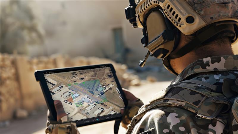
Authoritative Data. Operationally Aligned.
Leveraging a Tethys-enabled architecture, CDI operationalizes foundational GEOINT dissemination, moving trusted map and imagery data from enterprise sources to mission users across connected and disconnected environments. Intelligent routing and automated processing maintain data integrity, reduce duplication, and keep teams operating from the same authoritative foundation.
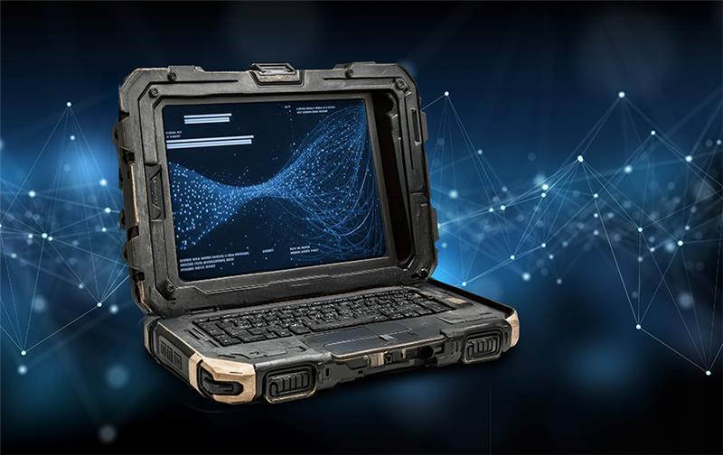
Orchestrating Intelligence at Scale.
Tethys is CDI’s dynamic data orchestration platform, enabling scalable AI-driven processing across FMV, GEOINT, and other mission data sources. With open architecture APIs, intelligent data routing, and a resilient Kubernetes-based foundation, Tethys streamlines complex dataflows and delivers decision-focused intelligence through a simplified, mission-ready user experience. Built to integrate diverse data types and third-party models, Tethys transforms distributed data into operational advantage at scale.
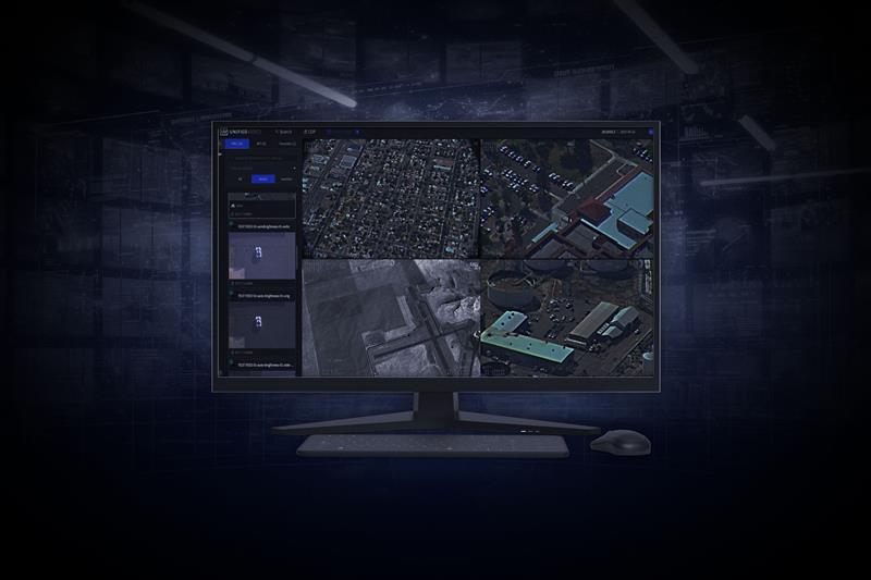
Advanced Full-Motion Video. Unified and Operational.
Unified Video+ delivers secure, scalable management of live and archived full-motion video with integrated Timewarp DVR, product export, and geospatial visualization. Designed for enterprise and tactical environments, UV+ enables rapid video exploitation and seamless integration into the broader operational picture.